Baggholme Road, Lincoln
Introduction
The photograph on this page of Baggholme Road, Lincoln by Stephen Richards as part of the Geograph project.
The Geograph project started in 2005 with the aim of publishing, organising and preserving representative images for every square kilometre of Great Britain, Ireland and the Isle of Man.

There are currently over 7.5m images from over 14,400 individuals and you can help contribute to the project by visiting https://www.geograph.org.uk
Baggholme Road, Lincoln
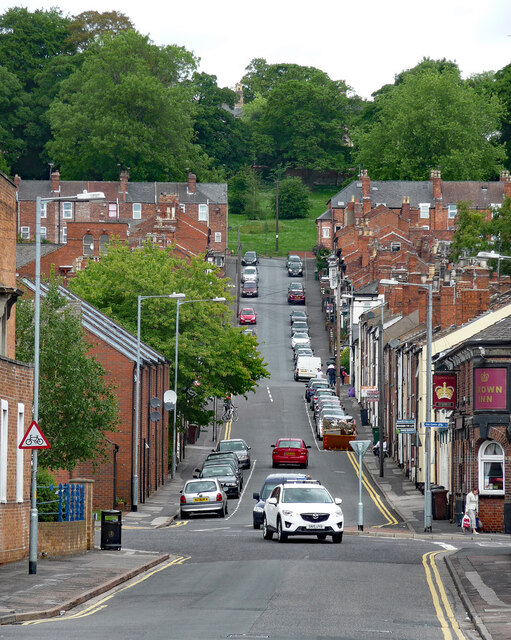
Image: © Stephen Richards Taken: 15 Jun 2015
Part of a grid of Victorian streets built for factory workers in what was then an area full of factories. The continuation up the hill is Cheviot Street. The pub on the corner, Crown Inn (Image]), is now the Birdcage.
Images are licensed for reuse under creativecommons.org/licenses/by-sa/2.0
Image Location
Latitude
53.228955
Longitude
-0.530551