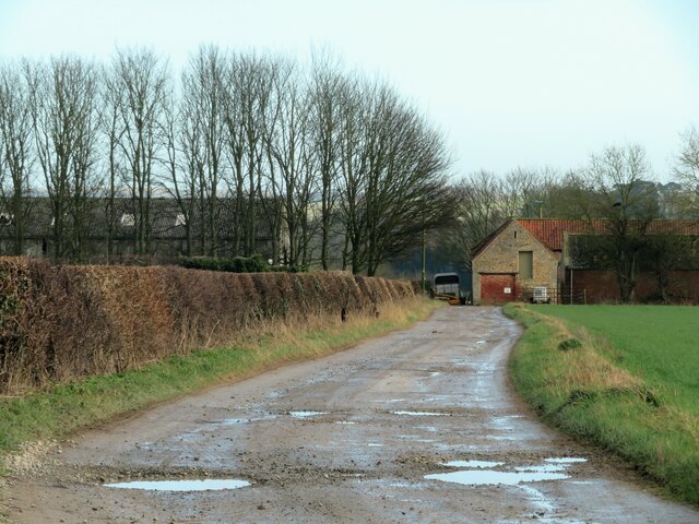
Track to Wharram Grange Farm
Introduction
The photograph on this page of Track to Wharram Grange Farm by Gordon Hatton as part of the Geograph project.
The Geograph project started in 2005 with the aim of publishing, organising and preserving representative images for every square kilometre of Great Britain, Ireland and the Isle of Man.
There are currently over 7.5m images from over 14,400 individuals and you can help contribute to the project by visiting https://www.geograph.org.uk

Image: © Gordon Hatton Taken: 9 Jan 2022
The farm track is within this square, but the farm buildings are just into the adjacent square. Odd that the maps shows the area around here as Wharram Grange without a reference to any particular building. Old Maps from the 19thC show the farm as Wharram Grange as well as the area around it.

