The lane at the back of Mill Close
Introduction
The photograph on this page of The lane at the back of Mill Close by Neil Owen as part of the Geograph project.
The Geograph project started in 2005 with the aim of publishing, organising and preserving representative images for every square kilometre of Great Britain, Ireland and the Isle of Man.

There are currently over 7.5m images from over 14,400 individuals and you can help contribute to the project by visiting https://www.geograph.org.uk
The lane at the back of Mill Close
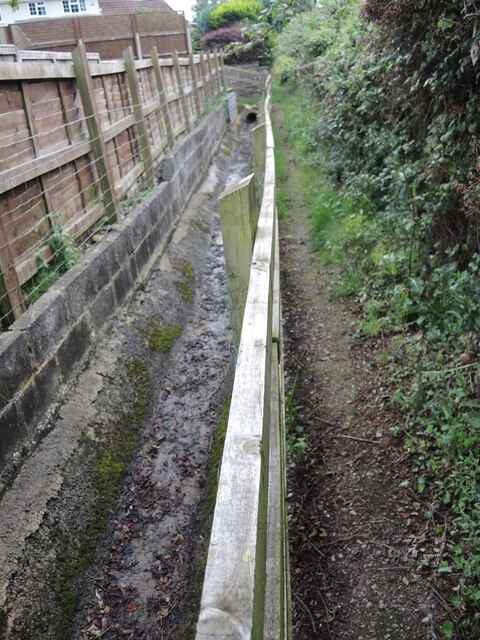
Image: © Neil Owen Taken: 19 Aug 2021
Forming a link between the Mill Stream and Cannington Brook is a short footpath round the back of the houses. Judging by the small ditch it must be wet at times.
Images are licensed for reuse under creativecommons.org/licenses/by-sa/2.0
Image Location


Leaflet Map data © OpenStreetMap
Latitude
51.149083
Longitude
-3.066349