Fields near Madam's Farm at sunset
Introduction
The photograph on this page of Fields near Madam's Farm at sunset by Espresso Addict as part of the Geograph project.
The Geograph project started in 2005 with the aim of publishing, organising and preserving representative images for every square kilometre of Great Britain, Ireland and the Isle of Man.

There are currently over 7.5m images from over 14,400 individuals and you can help contribute to the project by visiting https://www.geograph.org.uk
Fields near Madam's Farm at sunset
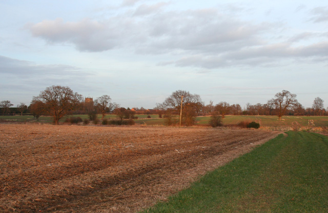
Image: © Espresso Addict Taken: 27 Feb 2008
Although much of the area is used for dairy farming, several large arable fields lie to the west of Raven's Lane, near Madam's Farm. The field boundary represents a local low point. View from the public footpath between Raven's Lane and Acton (green strip, right). St Mary's Church, Acton is just visible on the horizon (left)
Images are licensed for reuse under creativecommons.org/licenses/by-sa/2.0
Image Location
Latitude
53.069857
Longitude
-2.559928