Sow Brook football pitch touchline looking north
Introduction
The photograph on this page of Sow Brook football pitch touchline looking north by Steven as part of the Geograph project.
The Geograph project started in 2005 with the aim of publishing, organising and preserving representative images for every square kilometre of Great Britain, Ireland and the Isle of Man.

There are currently over 7.5m images from over 14,400 individuals and you can help contribute to the project by visiting https://www.geograph.org.uk
Sow Brook football pitch touchline looking north
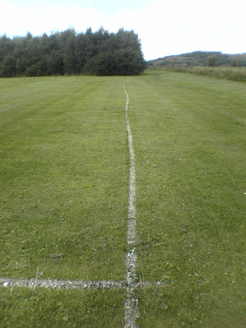
Image: © Steven Taken: 20 Aug 2005
Warrington B.C. must have marked this line after lunch. It is the easternmost line of the northeastern most sports pitch on the old corporation tip site. The pitch is used by Lymm AFC formerly Lymm GSOB. Lymm Rovers JFC and Lymm RUFC also use Sow Brook. The land the right of the trees - rising to half the height of the trees - is on the north side of the Manchester Ship canal.
Images are licensed for reuse under creativecommons.org/licenses/by-sa/2.0
Image Location
Latitude
53.389673
Longitude
-2.479614