Approaching Dartington Hall
Introduction
The photograph on this page of Approaching Dartington Hall by Derek Harper as part of the Geograph project.
The Geograph project started in 2005 with the aim of publishing, organising and preserving representative images for every square kilometre of Great Britain, Ireland and the Isle of Man.

There are currently over 7.5m images from over 14,400 individuals and you can help contribute to the project by visiting https://www.geograph.org.uk
Approaching Dartington Hall
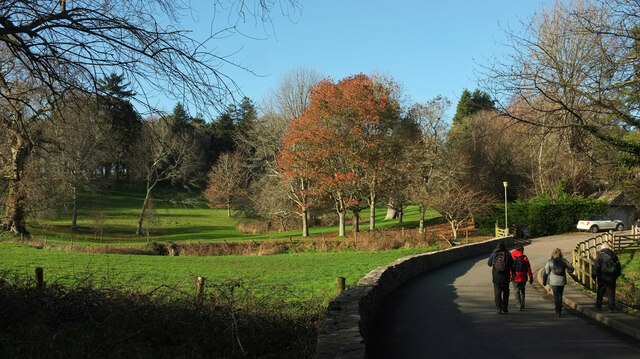
Image: © Derek Harper Taken: 5 Jan 2022
The drive curves across the head of a side valley of the Dart before climbing to the hall and its gardens, although the Valley Field of the gardens, seen ahead, can also be accessed from this bend - see Image A ha-ha separates it from the field on the left. https://historicengland.org.uk/listing/the-list/list-entry/1000453?section=official-listing See also Image
Images are licensed for reuse under creativecommons.org/licenses/by-sa/2.0
Image Location
Latitude
50.449578
Longitude
-3.691857