Staverton Mill sluice
Introduction
The photograph on this page of Staverton Mill sluice by Neil Owen as part of the Geograph project.
The Geograph project started in 2005 with the aim of publishing, organising and preserving representative images for every square kilometre of Great Britain, Ireland and the Isle of Man.

There are currently over 7.5m images from over 14,400 individuals and you can help contribute to the project by visiting https://www.geograph.org.uk
Staverton Mill sluice
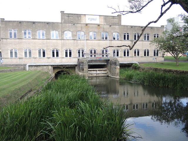
Image: © Neil Owen Taken: 16 Aug 2021
Part of the older industrial heritage at Staverton, with its own water channel (the Weston Cut canal) and sluice. The Domesday Book has references to work being carried on here and it remains so even today.
Images are licensed for reuse under creativecommons.org/licenses/by-sa/2.0
Image Location
Latitude
51.347716
Longitude
-2.207716