Harbour Way
Introduction
The photograph on this page of Harbour Way by Simon Carey as part of the Geograph project.
The Geograph project started in 2005 with the aim of publishing, organising and preserving representative images for every square kilometre of Great Britain, Ireland and the Isle of Man.

There are currently over 7.5m images from over 14,400 individuals and you can help contribute to the project by visiting https://www.geograph.org.uk
Harbour Way
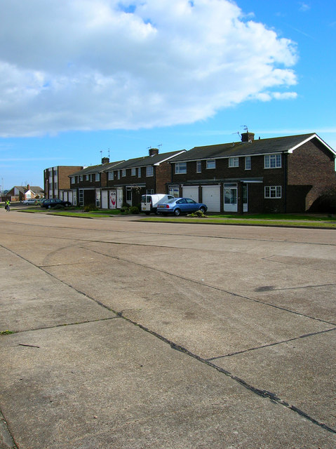
Image: © Simon Carey Taken: 26 Feb 2008
Sixties housing development opposite the river. The road winds round then heads back west along the spit.
Images are licensed for reuse under creativecommons.org/licenses/by-sa/2.0
Image Location


Leaflet Map data © OpenStreetMap
Latitude
50.829843
Longitude
-0.253855