Hampsthwaite, Hollins Lane
Introduction
The photograph on this page of Hampsthwaite, Hollins Lane by Mel Towler as part of the Geograph project.
The Geograph project started in 2005 with the aim of publishing, organising and preserving representative images for every square kilometre of Great Britain, Ireland and the Isle of Man.

There are currently over 7.5m images from over 14,400 individuals and you can help contribute to the project by visiting https://www.geograph.org.uk
Hampsthwaite, Hollins Lane
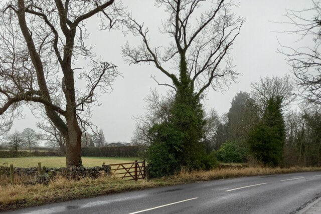
Image: © Mel Towler Taken: 24 Dec 2021
According to the OS benchmark database there should be a benchmark cut into the right hand gatepost. The vegetation was too dense to check 3 of the sides of the post. It is likely that the benchmark will still be present.
Images are licensed for reuse under creativecommons.org/licenses/by-sa/2.0
Image Location
Latitude
54.014809
Longitude
-1.595099