Bridge carrying A688 over access road for Old Quarrington
Introduction
The photograph on this page of Bridge carrying A688 over access road for Old Quarrington by Trevor Littlewood as part of the Geograph project.
The Geograph project started in 2005 with the aim of publishing, organising and preserving representative images for every square kilometre of Great Britain, Ireland and the Isle of Man.

There are currently over 7.5m images from over 14,400 individuals and you can help contribute to the project by visiting https://www.geograph.org.uk
Bridge carrying A688 over access road for Old Quarrington
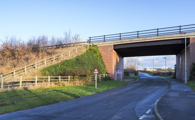
Image: © Trevor Littlewood Taken: 7 Jan 2022
The road beneath the bridge is the only public motor road access for the small settlement at Old Quarrington. The blue and yellow road sign is typical of many found in County Durham.
Images are licensed for reuse under creativecommons.org/licenses/by-sa/2.0
Image Location
Latitude
54.732225
Longitude
-1.513754