A Lane in Foggie
Introduction
The photograph on this page of A Lane in Foggie by Anne Burgess as part of the Geograph project.
The Geograph project started in 2005 with the aim of publishing, organising and preserving representative images for every square kilometre of Great Britain, Ireland and the Isle of Man.

There are currently over 7.5m images from over 14,400 individuals and you can help contribute to the project by visiting https://www.geograph.org.uk
A Lane in Foggie
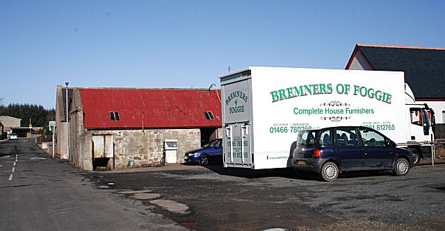
Image: © Anne Burgess Taken: 27 Feb 2008
Foggie, short for Foggieloan, is how most local people refer to the village of Aberchirder (pronounce it Ab-er-HIR-der) because the village was laid out on the land of a farm called Foggieloan.
Images are licensed for reuse under creativecommons.org/licenses/by-sa/2.0
Image Location
Latitude
57.561578
Longitude
-2.625245