Great Chishill: on May Street
Introduction
The photograph on this page of Great Chishill: on May Street by John Sutton as part of the Geograph project.
The Geograph project started in 2005 with the aim of publishing, organising and preserving representative images for every square kilometre of Great Britain, Ireland and the Isle of Man.

There are currently over 7.5m images from over 14,400 individuals and you can help contribute to the project by visiting https://www.geograph.org.uk
Great Chishill: on May Street
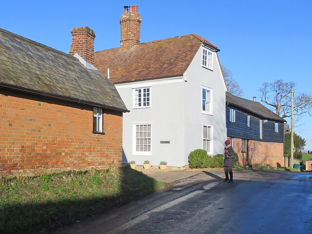
Image: © John Sutton Taken: 7 Jan 2022
The Grade II listed Hill Farmhouse is timber-framed. It dates from the 17th century and has later alterations and additions. The surrounding barns have been converted.
Images are licensed for reuse under creativecommons.org/licenses/by-sa/2.0
Image Location
Latitude
52.029203
Longitude
0.071637