Dens of Mayen
Introduction
The photograph on this page of Dens of Mayen by Anne Burgess as part of the Geograph project.
The Geograph project started in 2005 with the aim of publishing, organising and preserving representative images for every square kilometre of Great Britain, Ireland and the Isle of Man.

There are currently over 7.5m images from over 14,400 individuals and you can help contribute to the project by visiting https://www.geograph.org.uk
Dens of Mayen
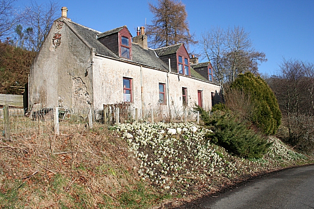
Image: © Anne Burgess Taken: 27 Feb 2008
This house has one of the best views I know Image], looking out over the River Deveron. The bank below it is thick with Butterbur.
Images are licensed for reuse under creativecommons.org/licenses/by-sa/2.0
Image Location
Latitude
57.536747
Longitude
-2.700984