Fields near Swyre
Introduction
The photograph on this page of Fields near Swyre by Derek Harper as part of the Geograph project.
The Geograph project started in 2005 with the aim of publishing, organising and preserving representative images for every square kilometre of Great Britain, Ireland and the Isle of Man.

There are currently over 7.5m images from over 14,400 individuals and you can help contribute to the project by visiting https://www.geograph.org.uk
Fields near Swyre
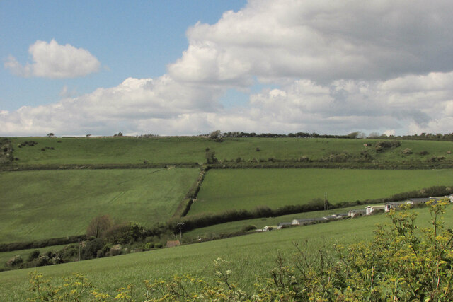
Image: © Derek Harper Taken: 26 May 2021
A detail of the scene in Image, from a different angle. Gorselands Caravan Park is on the right, and, as with Image], New Lane runs along the contour at the top edge of the fields.
Images are licensed for reuse under creativecommons.org/licenses/by-sa/2.0
Image Location


Leaflet Map data © OpenStreetMap
Latitude
50.689692
Longitude
-2.675218