The west end of Bath Place
Introduction
The photograph on this page of The west end of Bath Place by Stephen Craven as part of the Geograph project.
The Geograph project started in 2005 with the aim of publishing, organising and preserving representative images for every square kilometre of Great Britain, Ireland and the Isle of Man.

There are currently over 7.5m images from over 14,400 individuals and you can help contribute to the project by visiting https://www.geograph.org.uk
The west end of Bath Place
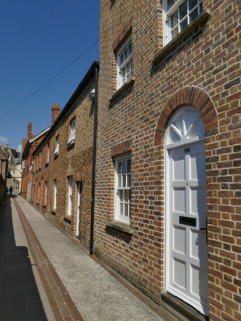
Image: © Stephen Craven Taken: 16 Jul 2021
According to a local history trail leaflet, Bath Place was the main road west from the market place until 1894. It is still a public right of way shown on OS maps. Strangely, the houses here are not listed but the brick wall opposite (not shown here but seen in Image) is, as it dates from 1694.
Images are licensed for reuse under creativecommons.org/licenses/by-sa/2.0
Image Location
Latitude
51.01401
Longitude
-3.105729