West Newhall
Introduction
The photograph on this page of West Newhall by Anne Burgess as part of the Geograph project.
The Geograph project started in 2005 with the aim of publishing, organising and preserving representative images for every square kilometre of Great Britain, Ireland and the Isle of Man.

There are currently over 7.5m images from over 14,400 individuals and you can help contribute to the project by visiting https://www.geograph.org.uk
West Newhall
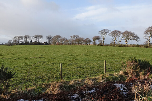
Image: © Anne Burgess Taken: 4 Jan 2022
A row of beech trees marks the road into West Newhall. This used to continue to Stoneyhill, but it was cut when https://www.geograph.org.uk/snippet/14648 was built.
Images are licensed for reuse under creativecommons.org/licenses/by-sa/2.0
Image Location
Latitude
57.038273
Longitude
-2.205462