Aberdeen Western Peripheral Route
Introduction
The photograph on this page of Aberdeen Western Peripheral Route by Anne Burgess as part of the Geograph project.
The Geograph project started in 2005 with the aim of publishing, organising and preserving representative images for every square kilometre of Great Britain, Ireland and the Isle of Man.

There are currently over 7.5m images from over 14,400 individuals and you can help contribute to the project by visiting https://www.geograph.org.uk
Aberdeen Western Peripheral Route
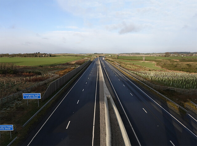
Image: © Anne Burgess Taken: 4 Jan 2022
Looking north from the overbridge at North Cookney. On the left, in the distance, is Stoneyhill, and to the right are Newhall and Rothnick, the direct route between them now cut off by the new road. The sun was too low to photograph the view to the south, but that has already been more than adequately done Image
Images are licensed for reuse under creativecommons.org/licenses/by-sa/2.0
Image Location
Latitude
57.033954
Longitude
-2.209392