Entering Cookney
Introduction
The photograph on this page of Entering Cookney by Anne Burgess as part of the Geograph project.
The Geograph project started in 2005 with the aim of publishing, organising and preserving representative images for every square kilometre of Great Britain, Ireland and the Isle of Man.

There are currently over 7.5m images from over 14,400 individuals and you can help contribute to the project by visiting https://www.geograph.org.uk
Entering Cookney
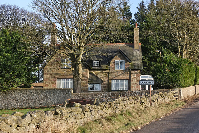
Image: © Anne Burgess Taken: 4 Jan 2022
At first glance it crossed my mind that this house might originally have been a school, but the 19th century maps show that it wasn't. It is on the second edition of the six-inch Ordnance Survey map, surveyed in 1901, but not on the first edition, surveyed in 1865.
Images are licensed for reuse under creativecommons.org/licenses/by-sa/2.0
Image Location
Latitude
57.030707
Longitude
-2.217282