Top of Church Street, Barnoldswick
Introduction
The photograph on this page of Top of Church Street, Barnoldswick by Dr Neil Clifton as part of the Geograph project.
The Geograph project started in 2005 with the aim of publishing, organising and preserving representative images for every square kilometre of Great Britain, Ireland and the Isle of Man.

There are currently over 7.5m images from over 14,400 individuals and you can help contribute to the project by visiting https://www.geograph.org.uk
Top of Church Street, Barnoldswick
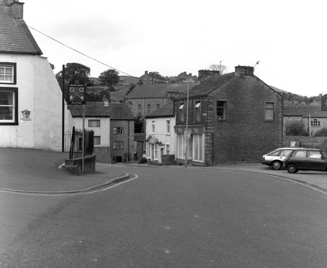
Image: © Dr Neil Clifton Taken: 22 Jul 1990
The 'Cross Keys' pub, which at that time served Matthew Brown's beers, is at the left, with, behind it, Manchester Road going off to the left. Straight ahead is Walmsgate, with the Methodist Church in the centre of the picture.
Images are licensed for reuse under creativecommons.org/licenses/by-sa/2.0
Image Location


Leaflet Map data © OpenStreetMap
Latitude
53.915577
Longitude
-2.189355