Up to Mendip Vale
Introduction
The photograph on this page of Up to Mendip Vale by Neil Owen as part of the Geograph project.
The Geograph project started in 2005 with the aim of publishing, organising and preserving representative images for every square kilometre of Great Britain, Ireland and the Isle of Man.

There are currently over 7.5m images from over 14,400 individuals and you can help contribute to the project by visiting https://www.geograph.org.uk
Up to Mendip Vale
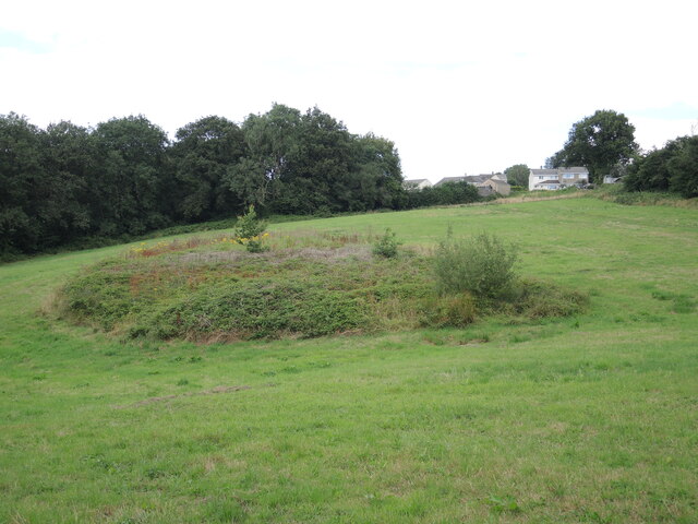
Image: © Neil Owen Taken: 4 Aug 2021
Take the footpath up the hill to the modern housing of Highbury. Along the way is a rougher patch of brambles. Further down the hill is an old shaft, part of the coal mining history that used to dominate the village's industry.
Images are licensed for reuse under creativecommons.org/licenses/by-sa/2.0
Image Location
Latitude
51.24297
Longitude
-2.457658