Tannoch Drive
Introduction
The photograph on this page of Tannoch Drive by Richard Sutcliffe as part of the Geograph project.
The Geograph project started in 2005 with the aim of publishing, organising and preserving representative images for every square kilometre of Great Britain, Ireland and the Isle of Man.

There are currently over 7.5m images from over 14,400 individuals and you can help contribute to the project by visiting https://www.geograph.org.uk
Tannoch Drive
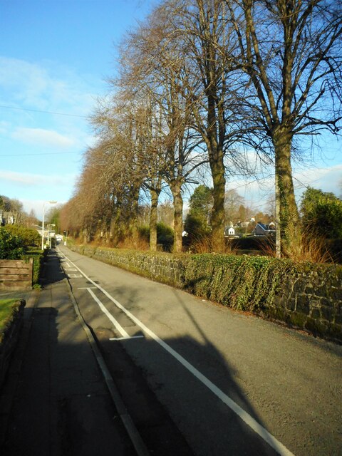
Image: © Richard Sutcliffe Taken: 5 Jan 2022
On the other side of the wall is the tree-lined Commissioner's Road. This leads to Glasgow Corporation Waterworks, Mugdock and Craigmaddie Reservoirs.
Images are licensed for reuse under creativecommons.org/licenses/by-sa/2.0
Image Location
Latitude
55.945408
Longitude
-4.312179