Coleford village hall
Introduction
The photograph on this page of Coleford village hall by Neil Owen as part of the Geograph project.
The Geograph project started in 2005 with the aim of publishing, organising and preserving representative images for every square kilometre of Great Britain, Ireland and the Isle of Man.

There are currently over 7.5m images from over 14,400 individuals and you can help contribute to the project by visiting https://www.geograph.org.uk
Coleford village hall
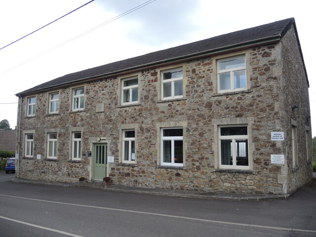
Image: © Neil Owen Taken: 4 Aug 2021
The hall has a datestone of 1963, but it appears to have been a welfare institute before that - for at least a few decades.
Images are licensed for reuse under creativecommons.org/licenses/by-sa/2.0
Image Location
Latitude
51.239404
Longitude
-2.449601