Middle Street Bradpole
Introduction
The photograph on this page of Middle Street Bradpole by Nigel Mykura as part of the Geograph project.
The Geograph project started in 2005 with the aim of publishing, organising and preserving representative images for every square kilometre of Great Britain, Ireland and the Isle of Man.

There are currently over 7.5m images from over 14,400 individuals and you can help contribute to the project by visiting https://www.geograph.org.uk
Middle Street Bradpole
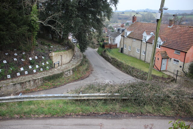
Image: © Nigel Mykura Taken: 11 Feb 2017
Looking down Middle Street from the parish churchyard. Village Road runs across the lower part of the image. Above the raised footpath on the left can be seen the square plates on the ends of the rods used recently to stabilise the soil on the steep bank.
Images are licensed for reuse under creativecommons.org/licenses/by-sa/2.0
Image Location
Latitude
50.745341
Longitude
-2.737248