Woodland, Hughenden
Introduction
The photograph on this page of Woodland, Hughenden by Andrew Smith as part of the Geograph project.
The Geograph project started in 2005 with the aim of publishing, organising and preserving representative images for every square kilometre of Great Britain, Ireland and the Isle of Man.

There are currently over 7.5m images from over 14,400 individuals and you can help contribute to the project by visiting https://www.geograph.org.uk
Woodland, Hughenden
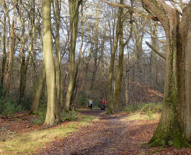
Image: © Andrew Smith Taken: 2 Jan 2022
One of many footpaths on Naphill Common approaches the junction with a bridleway that has climbed from Bradenham.
Images are licensed for reuse under creativecommons.org/licenses/by-sa/2.0
Image Location
Latitude
51.66761
Longitude
-0.789981