Footpath junction in woodland south of Radcliffe on Trent
Introduction
The photograph on this page of Footpath junction in woodland south of Radcliffe on Trent by Alan Murray-Rust as part of the Geograph project.
The Geograph project started in 2005 with the aim of publishing, organising and preserving representative images for every square kilometre of Great Britain, Ireland and the Isle of Man.

There are currently over 7.5m images from over 14,400 individuals and you can help contribute to the project by visiting https://www.geograph.org.uk
Footpath junction in woodland south of Radcliffe on Trent
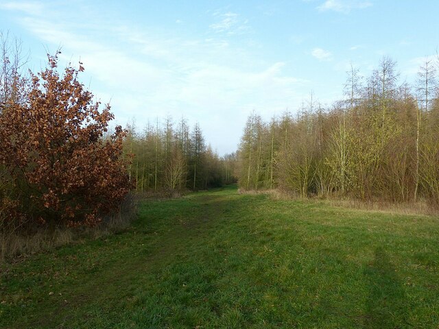
Image: © Alan Murray-Rust Taken: 1 Jan 2022
This is new woodland, planted around 2000 and becoming mature. The rides ahead and to the left have been created along the lines of existing public footpaths. The woodland is mixed deciduous, consisting primarily of broadleaf species with some areas of larch.
Images are licensed for reuse under creativecommons.org/licenses/by-sa/2.0
Image Location


Leaflet Map data © OpenStreetMap
Latitude
52.93904
Longitude
-1.041859