Holme Pierrepont village sign
Introduction
The photograph on this page of Holme Pierrepont village sign by Alan Murray-Rust as part of the Geograph project.
The Geograph project started in 2005 with the aim of publishing, organising and preserving representative images for every square kilometre of Great Britain, Ireland and the Isle of Man.

There are currently over 7.5m images from over 14,400 individuals and you can help contribute to the project by visiting https://www.geograph.org.uk
Holme Pierrepont village sign
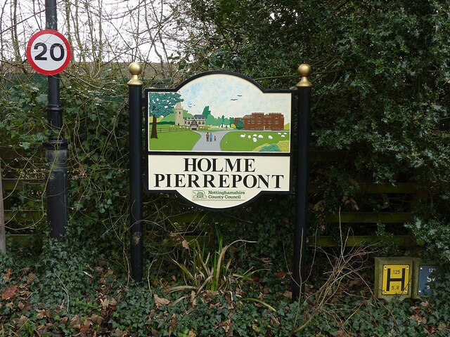
Image: © Alan Murray-Rust Taken: 1 Jan 2022
Presenting the view at the main access to the Hall http://www.geograph.org.uk/photo/7059551
Images are licensed for reuse under creativecommons.org/licenses/by-sa/2.0
Image Location
Latitude
52.945613
Longitude
-1.065823