Map of Longtimber Woods, Ivybridge
Introduction
The photograph on this page of Map of Longtimber Woods, Ivybridge by David Smith as part of the Geograph project.
The Geograph project started in 2005 with the aim of publishing, organising and preserving representative images for every square kilometre of Great Britain, Ireland and the Isle of Man.

There are currently over 7.5m images from over 14,400 individuals and you can help contribute to the project by visiting https://www.geograph.org.uk
Map of Longtimber Woods, Ivybridge
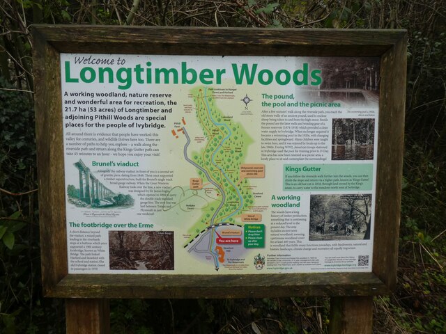
Image: © David Smith Taken: 13 Dec 2021
A map showing the river and paths at the start of a woodland walk, with a short description of the railway viaduct
Images are licensed for reuse under creativecommons.org/licenses/by-sa/2.0
Image Location
Latitude
50.396195
Longitude
-3.920848