Askham Richard property
Introduction
The photograph on this page of Askham Richard property by Mel Towler as part of the Geograph project.
The Geograph project started in 2005 with the aim of publishing, organising and preserving representative images for every square kilometre of Great Britain, Ireland and the Isle of Man.

There are currently over 7.5m images from over 14,400 individuals and you can help contribute to the project by visiting https://www.geograph.org.uk
Askham Richard property
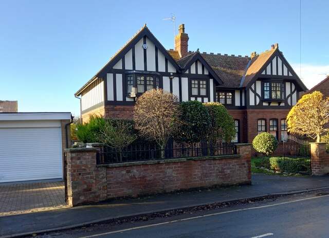
Image: © Mel Towler Taken: 15 Dec 2021
There is a benchmark cut into a boundary wall of this house on the west side of the main street through the village.
Images are licensed for reuse under creativecommons.org/licenses/by-sa/2.0
Image Location
Latitude
53.925378
Longitude
-1.186782