Farmland and pylons near Nursted
Introduction
The photograph on this page of Farmland and pylons near Nursted by Brian Robert Marshall as part of the Geograph project.
The Geograph project started in 2005 with the aim of publishing, organising and preserving representative images for every square kilometre of Great Britain, Ireland and the Isle of Man.

There are currently over 7.5m images from over 14,400 individuals and you can help contribute to the project by visiting https://www.geograph.org.uk
Farmland and pylons near Nursted
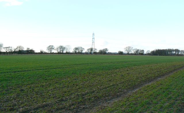
Image: © Brian Robert Marshall Taken: 26 Feb 2008
The pylon in the centre of the image is almost at the centre of the square give or take 50 metres. The powerlines supported by the pylons cross the square south-west to north-east.
Images are licensed for reuse under creativecommons.org/licenses/by-sa/2.0
Image Location
Latitude
50.97852
Longitude
-0.925924