Birchington-on-Sea features [1]
Introduction
The photograph on this page of Birchington-on-Sea features [1] by Michael Dibb as part of the Geograph project.
The Geograph project started in 2005 with the aim of publishing, organising and preserving representative images for every square kilometre of Great Britain, Ireland and the Isle of Man.

There are currently over 7.5m images from over 14,400 individuals and you can help contribute to the project by visiting https://www.geograph.org.uk
Birchington-on-Sea features [1]
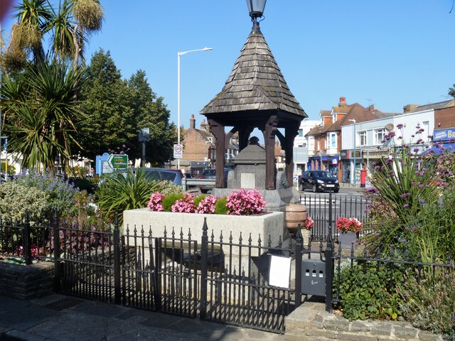
Image: © Michael Dibb Taken: 7 Sep 2021
On a small traffic island is this delightful drinking fountain and horse trough. The fountain, in polished granite, was erected in 1909. Birchington-on-Sea is a seaside village some 7 miles east of Herne Bay and some 3½ miles west of Margate. There is evidence of occupation from the Iron Age. As a resort, the village has a tourism based economy, with hotels, caravan parks and leisure attractions. Many retirees make the village their home.
Images are licensed for reuse under creativecommons.org/licenses/by-sa/2.0
Image Location


Leaflet Map data © OpenStreetMap
Latitude
51.373694
Longitude
1.307186