60 - 68 Cronks Hill Road
Introduction
The photograph on this page of 60 - 68 Cronks Hill Road by Ian Capper as part of the Geograph project.
The Geograph project started in 2005 with the aim of publishing, organising and preserving representative images for every square kilometre of Great Britain, Ireland and the Isle of Man.

There are currently over 7.5m images from over 14,400 individuals and you can help contribute to the project by visiting https://www.geograph.org.uk
60 - 68 Cronks Hill Road
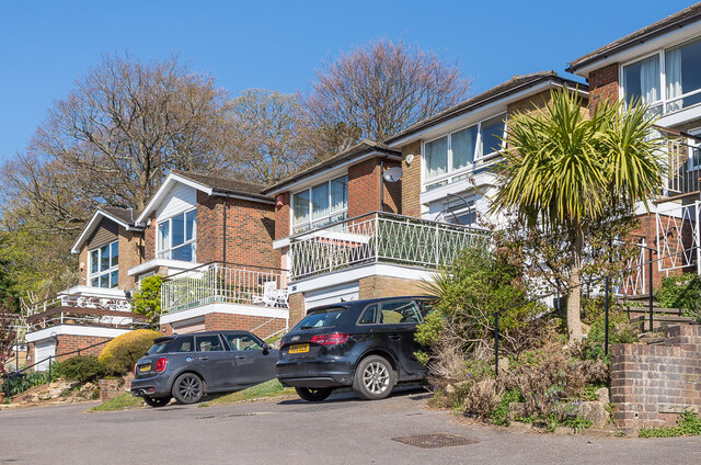
Image: © Ian Capper Taken: 24 Apr 2021
Part of a row of c.1960s/70s houses at the top of Cronks Hill Road, named Linden Heights.
Images are licensed for reuse under creativecommons.org/licenses/by-sa/2.0
Image Location
Latitude
51.23022
Longitude
-0.188598