Shadyside, Hexthorpe
Introduction
The photograph on this page of Shadyside, Hexthorpe by John Bayes as part of the Geograph project.
The Geograph project started in 2005 with the aim of publishing, organising and preserving representative images for every square kilometre of Great Britain, Ireland and the Isle of Man.

There are currently over 7.5m images from over 14,400 individuals and you can help contribute to the project by visiting https://www.geograph.org.uk
Shadyside, Hexthorpe
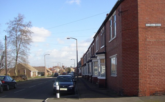
Image: © John Bayes Taken: 26 Feb 2008
Edwardian terracing on the Southern/Right side, newer housing on the North side. Doncaster Minster Tower can be seen in the distance.
Images are licensed for reuse under creativecommons.org/licenses/by-sa/2.0
Image Location


Leaflet Map data © OpenStreetMap
Latitude
53.51511
Longitude
-1.154993