Cliffe High Street, Lewes
Introduction
The photograph on this page of Cliffe High Street, Lewes by Simon Carey as part of the Geograph project.
The Geograph project started in 2005 with the aim of publishing, organising and preserving representative images for every square kilometre of Great Britain, Ireland and the Isle of Man.

There are currently over 7.5m images from over 14,400 individuals and you can help contribute to the project by visiting https://www.geograph.org.uk
Cliffe High Street, Lewes
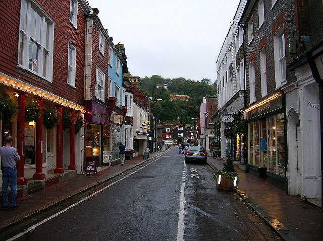
Image: © Simon Carey Taken: 26 Oct 2005
Looking east towards the junction with Malling Street and South Street. Until the 1960s this was the main road out of Lewes. Cliffe has long been a suburb of Lewes and grew out of its position as a crossing point over the river Ouse. It's still a shopping street but the eastern end thankfully is full of smaller shops rather than the big chain stores. Unfortunately, the area is still susceptible to flooding the last causing widespread damage a few years ago. This whole street was under water.
Images are licensed for reuse under creativecommons.org/licenses/by-sa/2.0
Image Location


Leaflet Map data © OpenStreetMap
Latitude
50.873838
Longitude
0.018277