Bridleway near Ratten Row
Introduction
The photograph on this page of Bridleway near Ratten Row by Adrian Taylor as part of the Geograph project.
The Geograph project started in 2005 with the aim of publishing, organising and preserving representative images for every square kilometre of Great Britain, Ireland and the Isle of Man.

There are currently over 7.5m images from over 14,400 individuals and you can help contribute to the project by visiting https://www.geograph.org.uk
Bridleway near Ratten Row
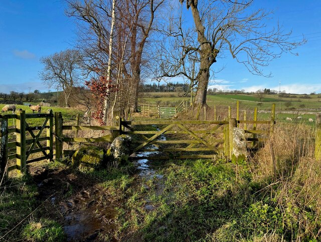
Image: © Adrian Taylor Taken: 2 Jan 2022
This is the public bridleway from Caldbeck to Brownrigg. The gate on the left takes a public footpath which leads down to the Howk.
Images are licensed for reuse under creativecommons.org/licenses/by-sa/2.0
Image Location
Latitude
54.750306
Longitude
-3.059707