LTN planters, Scott Hall Terrace
Introduction
The photograph on this page of LTN planters, Scott Hall Terrace by Stephen Craven as part of the Geograph project.
The Geograph project started in 2005 with the aim of publishing, organising and preserving representative images for every square kilometre of Great Britain, Ireland and the Isle of Man.

There are currently over 7.5m images from over 14,400 individuals and you can help contribute to the project by visiting https://www.geograph.org.uk
LTN planters, Scott Hall Terrace
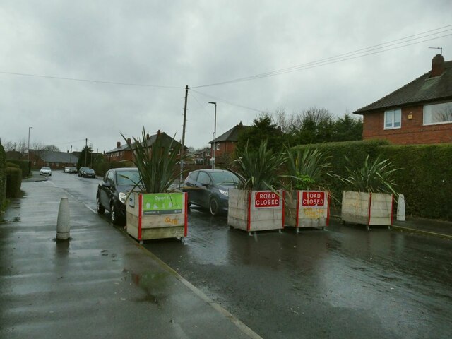
Image: © Stephen Craven Taken: 2 Jan 2022
The purpose of the planters is to create a LTN (Low Traffic Neighbourhood) by preventing through traffic on a residential street.
Images are licensed for reuse under creativecommons.org/licenses/by-sa/2.0
Image Location
Latitude
53.822
Longitude
-1.539691