Beach Road, Benllech
Introduction
The photograph on this page of Beach Road, Benllech by HelenK as part of the Geograph project.
The Geograph project started in 2005 with the aim of publishing, organising and preserving representative images for every square kilometre of Great Britain, Ireland and the Isle of Man.

There are currently over 7.5m images from over 14,400 individuals and you can help contribute to the project by visiting https://www.geograph.org.uk
Beach Road, Benllech
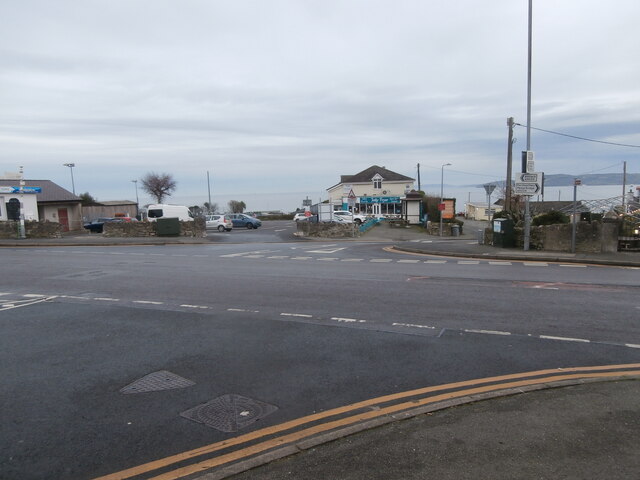
Image: © HelenK Taken: 22 Dec 2021
Here Beach Road meets Bangor Road and Llangefni Road. An old-style fingerpost (on the left) and a modern direction sign (on the right) are both visible. There is plenty of choice if you want to eat seafood in Benllech; including here the Jolly Fryer and far left Siop Y Cranc/The Crab Shop https://www.visitanglesey.co.uk/en/things-to-do/activities/the-crab-shop-benllech/#.YdHl3mjP3IU. Between them is the main car park for the village.
Images are licensed for reuse under creativecommons.org/licenses/by-sa/2.0
Image Location
Latitude
53.321513
Longitude
-4.225671