Bridgnorth Road and farmland near Wombourne, Staffordshire
Introduction
The photograph on this page of Bridgnorth Road and farmland near Wombourne, Staffordshire by Roger Kidd as part of the Geograph project.
The Geograph project started in 2005 with the aim of publishing, organising and preserving representative images for every square kilometre of Great Britain, Ireland and the Isle of Man.

There are currently over 7.5m images from over 14,400 individuals and you can help contribute to the project by visiting https://www.geograph.org.uk
Bridgnorth Road and farmland near Wombourne, Staffordshire
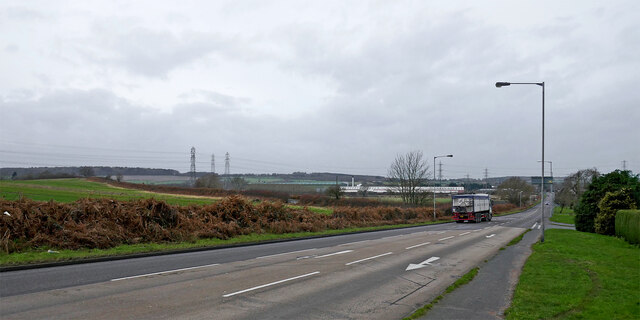
Image: © Roger Kidd Taken: 1 Jan 2022
Looking west across the B4174 Bridgnorth Road from near the junction with Common Road. Botterham Lane borders the field on the left. Turn left just past the truck, if the gate is not locked!
Images are licensed for reuse under creativecommons.org/licenses/by-sa/2.0
Image Location
Latitude
52.523999
Longitude
-2.198341