Chalkpit Cut, Lewes
Introduction
The photograph on this page of Chalkpit Cut, Lewes by Simon Carey as part of the Geograph project.
The Geograph project started in 2005 with the aim of publishing, organising and preserving representative images for every square kilometre of Great Britain, Ireland and the Isle of Man.

There are currently over 7.5m images from over 14,400 individuals and you can help contribute to the project by visiting https://www.geograph.org.uk
Chalkpit Cut, Lewes
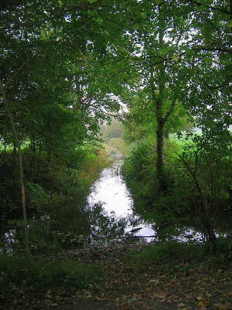
Image: © Simon Carey Taken: 26 Oct 2005
Taken from the track that links Offham with Landport Farm looking east. Chalkpit cut heads east to join the River Ouse. The waterway running parallel to the track is Papermill Cut. As the names suggest these are both artificial waterways.
Images are licensed for reuse under creativecommons.org/licenses/by-sa/2.0
Image Location
Latitude
50.886883
Longitude
-0.008173