Where's the path?
Introduction
The photograph on this page of Where's the path? by Ian Paterson as part of the Geograph project.
The Geograph project started in 2005 with the aim of publishing, organising and preserving representative images for every square kilometre of Great Britain, Ireland and the Isle of Man.

There are currently over 7.5m images from over 14,400 individuals and you can help contribute to the project by visiting https://www.geograph.org.uk
Where's the path?
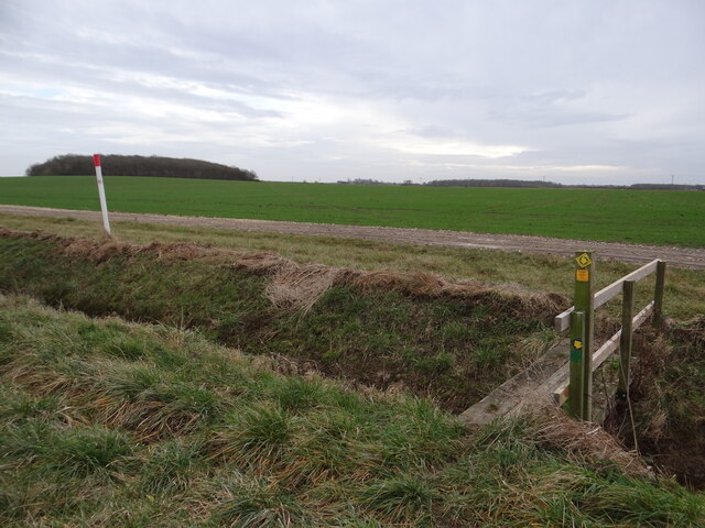
Image: © Ian Paterson Taken: 1 Jan 2022
There is supposed to be a footpath from this point towards the right hand corner of the wooded area in the distance known as Kirkby Mount. Today there was no sign whatsoever of any path so I took the farm track route which cuts across the photo on the other side of the ditch instead.
Images are licensed for reuse under creativecommons.org/licenses/by-sa/2.0
Image Location
Latitude
52.986074
Longitude
-0.380153