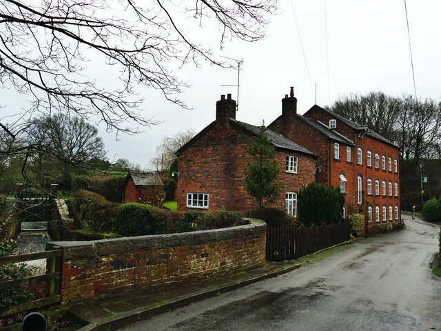
Sandbach Mill (1)
Introduction
The photograph on this page of Sandbach Mill (1) by Stephen Craven as part of the Geograph project.
The Geograph project started in 2005 with the aim of publishing, organising and preserving representative images for every square kilometre of Great Britain, Ireland and the Isle of Man.
There are currently over 7.5m images from over 14,400 individuals and you can help contribute to the project by visiting https://www.geograph.org.uk

Image: © Stephen Craven Taken: 28 Dec 2021
The mill was originally only water powered and ground corn. The 1897 25-inch map shows that the mill race and therefore the wheel were at the south end (far end in this view). I have not found a date for the construction of the present building, though its situation on a Roman road* next to the main stream through the town would suggest there could have been a mill on the site for many centuries. According to the present owner, it was owned in later years by an industrial company (Brunner Mond), one of the forbears of ICI, maybe to grind corn for cattle feed, with water power supplemented by steam, but ceased working in 1947. It has been converted to a single residential dwelling. Despite its local significance, it is neither nationally nor (as far as I can tell) locally listed. * The road outside is Mill Hill Lane. According to the website romanroads.org, "The bridge and lane at Sandbach Mill preserve the Roman line so the river crossing point here is almost 2000 years old. The modern road turns to the left beyond the mill but the Roman line turned right."

