Blacksmith's Arms
Introduction
The photograph on this page of Blacksmith's Arms by Ian Capper as part of the Geograph project.
The Geograph project started in 2005 with the aim of publishing, organising and preserving representative images for every square kilometre of Great Britain, Ireland and the Isle of Man.

There are currently over 7.5m images from over 14,400 individuals and you can help contribute to the project by visiting https://www.geograph.org.uk
Blacksmith's Arms
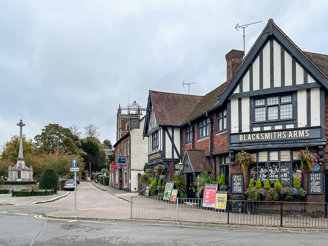
Image: © Ian Capper Taken: 4 Nov 2021
Pub at the corner of Hatfield Road and St Peter's Street, built in 1929. On the far left is the war memorial on Church Green (see Image) with the tower of St Peter's Church in the background.
Images are licensed for reuse under creativecommons.org/licenses/by-sa/2.0
Image Location
Latitude
51.754707
Longitude
-0.335814