Sewer across the Dingle Brook
Introduction
The photograph on this page of Sewer across the Dingle Brook by Stephen Craven as part of the Geograph project.
The Geograph project started in 2005 with the aim of publishing, organising and preserving representative images for every square kilometre of Great Britain, Ireland and the Isle of Man.

There are currently over 7.5m images from over 14,400 individuals and you can help contribute to the project by visiting https://www.geograph.org.uk
Sewer across the Dingle Brook
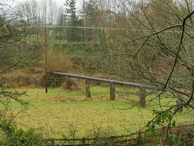
Image: © Stephen Craven Taken: 28 Dec 2021
Shown just as 'pipeline' on large scale maps, this is undoubtedly a sewer, as there used to be a sewage works just south of this location, marked on the 1930s map but already shown as disused by the 1960s. The pipe now runs through the embankment of the A534 Wheelock Bypass, presumably to a pumping station somewhere the other side.
Images are licensed for reuse under creativecommons.org/licenses/by-sa/2.0
Image Location
Latitude
53.139296
Longitude
-2.363359