Northern end of the Brook Wood Trail
Introduction
The photograph on this page of Northern end of the Brook Wood Trail by Stephen Craven as part of the Geograph project.
The Geograph project started in 2005 with the aim of publishing, organising and preserving representative images for every square kilometre of Great Britain, Ireland and the Isle of Man.

There are currently over 7.5m images from over 14,400 individuals and you can help contribute to the project by visiting https://www.geograph.org.uk
Northern end of the Brook Wood Trail
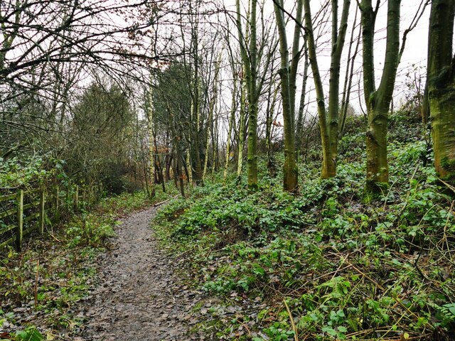
Image: © Stephen Craven Taken: 28 Dec 2021
The trail runs through woodland for about 750m from Old Mill Road to Coronation Crescent.
Images are licensed for reuse under creativecommons.org/licenses/by-sa/2.0
Image Location
Latitude
53.140649
Longitude
-2.361876