Rocksgreen Crescent and Dun Cow Road
Introduction
The photograph on this page of Rocksgreen Crescent and Dun Cow Road by Richard Webb as part of the Geograph project.
The Geograph project started in 2005 with the aim of publishing, organising and preserving representative images for every square kilometre of Great Britain, Ireland and the Isle of Man.

There are currently over 7.5m images from over 14,400 individuals and you can help contribute to the project by visiting https://www.geograph.org.uk
Rocksgreen Crescent and Dun Cow Road
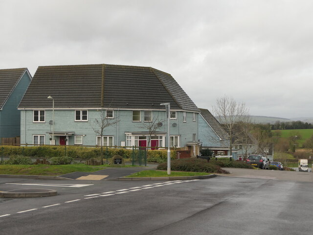
Image: © Richard Webb Taken: 29 Dec 2021
Ludlow jumped the bypass a few years back, here and up at Sheet Road. The houses predate the supermarket which had been open for a month at the time this was taken
Images are licensed for reuse under creativecommons.org/licenses/by-sa/2.0
Image Location


Leaflet Map data © OpenStreetMap
Latitude
52.377784
Longitude
-2.703027