Lime Avenue, Maryhill Park
Introduction
The photograph on this page of Lime Avenue, Maryhill Park by Richard Sutcliffe as part of the Geograph project.
The Geograph project started in 2005 with the aim of publishing, organising and preserving representative images for every square kilometre of Great Britain, Ireland and the Isle of Man.

There are currently over 7.5m images from over 14,400 individuals and you can help contribute to the project by visiting https://www.geograph.org.uk
Lime Avenue, Maryhill Park
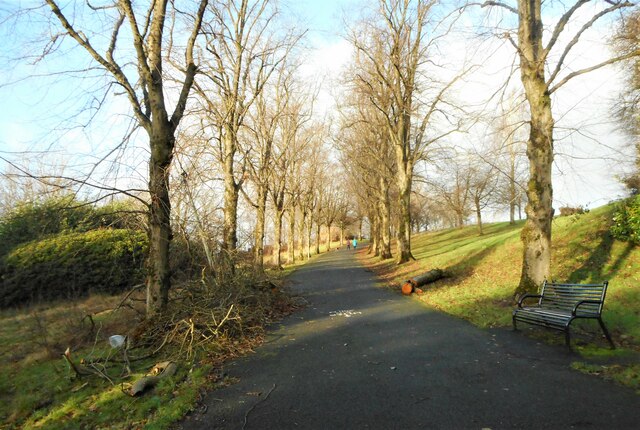
Image: © Richard Sutcliffe Taken: 1 Jan 2022
A tree-lined drive leads from the Maryhill Road entrance up the hill to the western-most end of the park. One of the trees has been cut down and the brash is still lying beside the roadway. It was a victim of Storm Arwen on 26th November 2021.
Images are licensed for reuse under creativecommons.org/licenses/by-sa/2.0
Image Location
Latitude
55.899713
Longitude
-4.30466