River Derwent from the viaduct
Introduction
The photograph on this page of River Derwent from the viaduct by DS Pugh as part of the Geograph project.
The Geograph project started in 2005 with the aim of publishing, organising and preserving representative images for every square kilometre of Great Britain, Ireland and the Isle of Man.

There are currently over 7.5m images from over 14,400 individuals and you can help contribute to the project by visiting https://www.geograph.org.uk
River Derwent from the viaduct
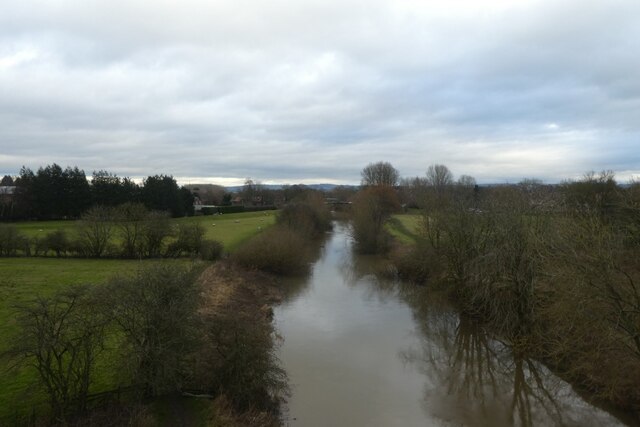
Image: © DS Pugh Taken: 30 Dec 2021
Looking down from the former railway viaduct, now forming part of NCN66.
Images are licensed for reuse under creativecommons.org/licenses/by-sa/2.0
Image Location
Latitude
53.9905
Longitude
-0.919056