Houses on Bamfield
Introduction
The photograph on this page of Houses on Bamfield by Nigel Mykura as part of the Geograph project.
The Geograph project started in 2005 with the aim of publishing, organising and preserving representative images for every square kilometre of Great Britain, Ireland and the Isle of Man.

There are currently over 7.5m images from over 14,400 individuals and you can help contribute to the project by visiting https://www.geograph.org.uk
Houses on Bamfield
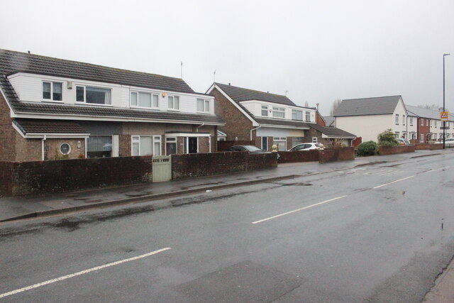
Image: © Nigel Mykura Taken: 25 Dec 2021
A wet dreary day on Bamfield. These semi detached houses are between Clydesdale Close and Maes Knoll Close.
Images are licensed for reuse under creativecommons.org/licenses/by-sa/2.0
Image Location
Latitude
51.416708
Longitude
-2.576158