A circular walk around Oare [77]
Introduction
The photograph on this page of A circular walk around Oare [77] by Michael Dibb as part of the Geograph project.
The Geograph project started in 2005 with the aim of publishing, organising and preserving representative images for every square kilometre of Great Britain, Ireland and the Isle of Man.

There are currently over 7.5m images from over 14,400 individuals and you can help contribute to the project by visiting https://www.geograph.org.uk
A circular walk around Oare [77]
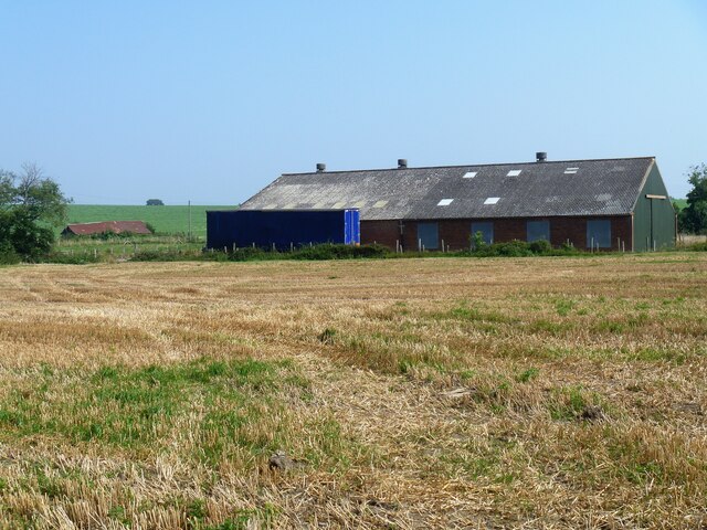
Image: © Michael Dibb Taken: 5 Sep 2021
This large, modern farm building is seen from the path. The walk follows the long distance Saxon Shore Way along the west bank of Oare Creek to the shore of The Swale. After a left turn, the walk heads along the shoreline to Dan’s Dock. Leaving the Saxon Shore Way and moving inland, a byway and a footpath lead to Luddenham Court, from where another footpath heads back to Oare. Almost exactly 5 miles.
Images are licensed for reuse under creativecommons.org/licenses/by-sa/2.0
Image Location
Latitude
51.332499
Longitude
0.863566