Woodland by A49 north of Prees
Introduction
The photograph on this page of Woodland by A49 north of Prees by David Smith as part of the Geograph project.
The Geograph project started in 2005 with the aim of publishing, organising and preserving representative images for every square kilometre of Great Britain, Ireland and the Isle of Man.

There are currently over 7.5m images from over 14,400 individuals and you can help contribute to the project by visiting https://www.geograph.org.uk
Woodland by A49 north of Prees
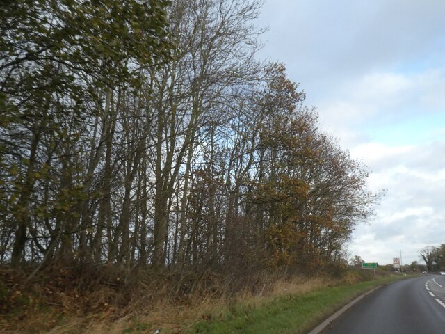
Image: © David Smith Taken: 4 Dec 2021
The road which became the A49 ran through Prees. When Prees was bypassed, the old road (named Whitchurch Road) was realigned to have a right-angle junction with the A49 just south of the wood. The trees in this small woodland mark the old route
Images are licensed for reuse under creativecommons.org/licenses/by-sa/2.0
Image Location
Latitude
52.905097
Longitude
-2.662026