Crossroads north of Wixhill and Weston
Introduction
The photograph on this page of Crossroads north of Wixhill and Weston by David Smith as part of the Geograph project.
The Geograph project started in 2005 with the aim of publishing, organising and preserving representative images for every square kilometre of Great Britain, Ireland and the Isle of Man.

There are currently over 7.5m images from over 14,400 individuals and you can help contribute to the project by visiting https://www.geograph.org.uk
Crossroads north of Wixhill and Weston
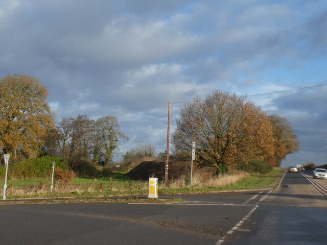
Image: © David Smith Taken: 4 Dec 2021
The open space between the hedge on the left and the trees in the centre appears to be the result of using part of a former field for housing and the realignment of the A49 around the crossroads
Images are licensed for reuse under creativecommons.org/licenses/by-sa/2.0
Image Location
Latitude
52.859467
Longitude
-2.65539